Center for Geoinformatics
Head of the Center
Petr Novák
The center provides services in the field of geoinformatics technologies for government, state administration and private sector.
We have knowledge and equipment to process most tasks in the field of geoinformaties technologies and their applications especially in the environment.
Contact
- Head of the center: Petr Novák –
- Deputy Head of the Centre: Ing. Vladimír Brůna, Ph.D., –
- Professional guarantor of the center: doc. Jan Pacina, Ph.D. –
Our skills and experience are include
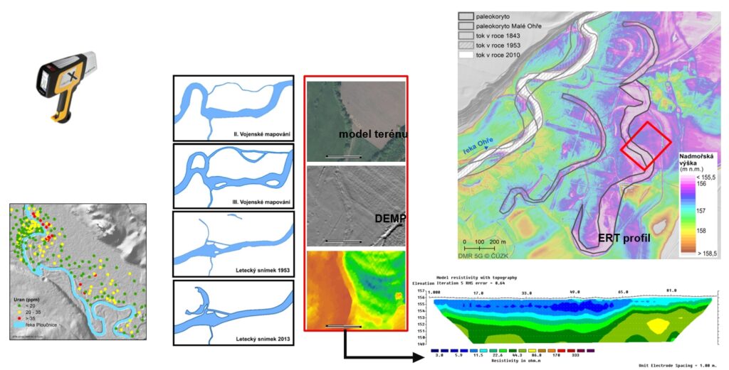
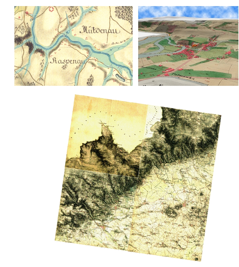
- Using old maps to study landscape changes
- Ground laser scanning and its interpretation
- Aerial laser scanning and its interpretation
- Aerial photogrammetry
- Terestrial laser scannig
- Airborne laser scanning
- Geostatistical evaluation of spatial data
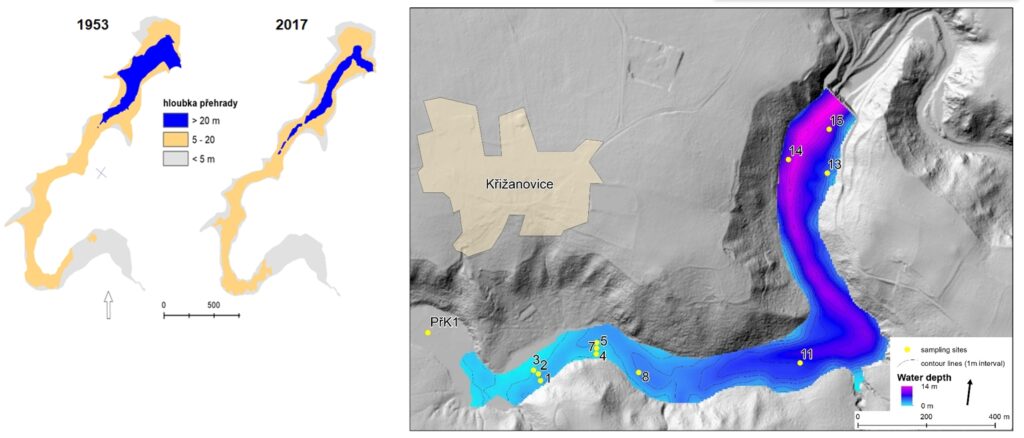
- Bathymetric mapping
- Methods for landscape reconstruction
- Research on the development of river floodplains
- Remote sensing methods and applications
- Analysis and visualization of 3D data
- Creation of map applications
- Creation of mobile map applications
Using old maps to study landscape changes
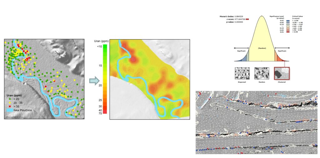
Geostatistical evaluation of spatial data
Aerial photogrammetry
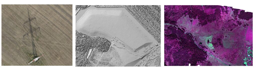
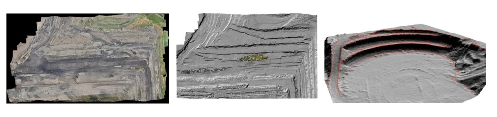
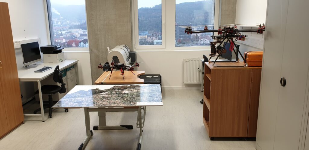
Using UAV
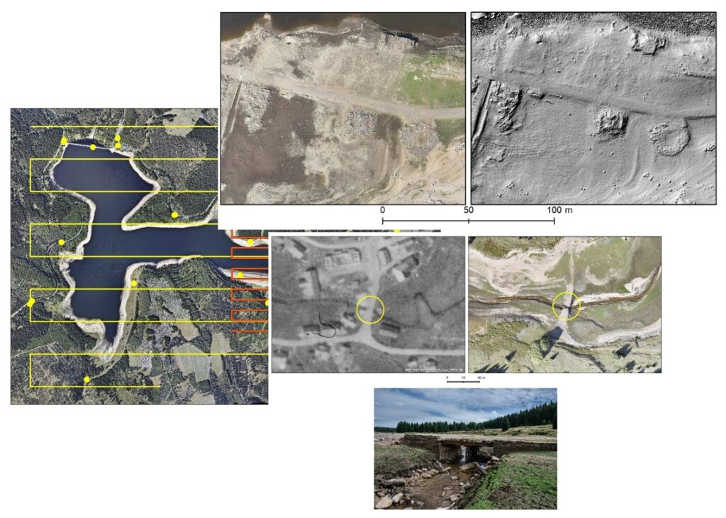
Bathymetric mapping