Seminar Geoinformatics in the Environment III
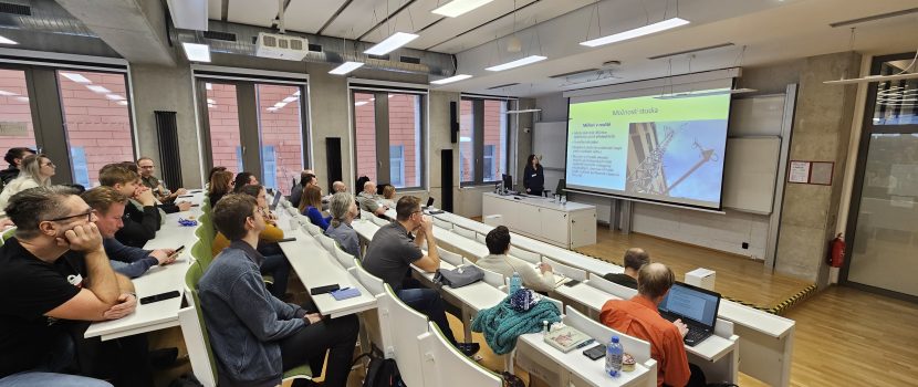
On 10 January 2026, the third edition of the seminar Geoinformatics in the Environment was held for professionals and students. The seminar is organized annually by the Faculty of Environment of Jan Evangelista Purkyně University in Ústí nad Labem. The event attracted significant interest from both students and the professional community, with nearly 60 participants in attendance.
As in previous years, the seminar featured a wide range of topics, from fundamental research to applied projects. The programme included, for example, a lecture by Assoc. Prof. Kropáček from the Faculty of Science, Charles University, focusing on monitoring glacier retreat in the Western Alps using remote sensing methods. Dr Chaloupecká from the Institute of Thermomechanics of the Czech Academy of Sciences presented innovative applications of physical modelling in an aerodynamic tunnel to simulate real-world processes, such as hazardous substance releases, as well as the impaired orientation of pollinators in polluted air. Assoc. Prof. Pacina from the home Faculty of Environment at UJEP introduced a reconstruction of the original relief of the Most Basin based on archival aerial photographs and cartographic materials, which is being carried out at the faculty as part of the RUR project. Dr Pálinkáš from the Research Institute of Geodesy, Topography and Cartography discussed the potential of satellite and terrestrial gravity measurements for monitoring environmental phenomena, such as the water cycle. Ing. Ježek from the Czech University of Life Sciences Prague presented his research on the use of radar to study fire disturbances in the České Švýcarsko National Park. Dr Cudlín (CzechGlobe) spoke about methodologies for assessing landscape degradation and enhancing ecological stability. Dr Růžičková from VSB – Technical University of Ostrava focused on the evaluation of ecosystem services in post-mining landscapes. A graduate of the faculty, Ing. Weber from Lovochemie, demonstrated how digital twins of industrial sites can be used in crisis management. Finally, our student Ing. Buchar, together with his colleague Ing. Pék from Bergteamet AB, presented current trends in mining optimisation using advanced geoinformatics methods in Scandinavia.
The seminar also included an engaging poster session covering topics such as flood risk assessment, pedology, invasive species, avalanche hazards and their societal impacts, modelling the effects of climate change on species distribution, the use of LiDAR technology for analysing residual biomass after wildfires, and the digital restoration of cultural heritage. More information is available on the seminar website: https://www.fzp.ujep.cz/geoivzp